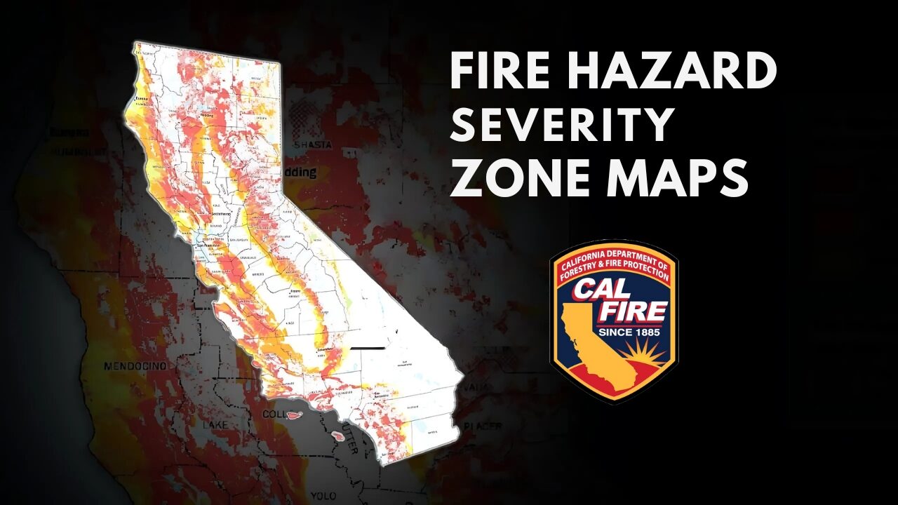
The California Department of Forestry and Fire Protection (CAL FIRE) has released updated 2025 Fire Hazard Severity Zone (FHSZ) maps for local responsibility areas across the state. These updated maps, released on March 24, 2025, categorize areas based on fire risk using the latest scientific data and methodologies.
What This Means for Cathedral City
The entire City of Cathedral City has been designated as a ‘Moderate’ Fire Hazard Severity Zone in the new maps. This classification is based on comprehensive assessments that include:
- New scientific research on wildfire behavior
- Ember spread patterns
- Local climate data
- Fuel loading (vegetation)
- Slope characteristics
- Fire weather conditions
- Wind patterns
Understanding Fire Hazard Severity Zones
The Fire Hazard Severity Zone maps classify areas into three categories:
- Moderate
- High
- Very High
These designations help communities understand their relative wildfire risk and inform fire prevention strategies, building codes, and emergency response planning.
Public Input and Adoption Timeline
The City of Cathedral City is currently in the process of reviewing and adopting these state-mandated maps. Residents are encouraged to participate in this process:
- April 23, 2025: Public hearing and informational report presented at the Regular City Council Meeting
- April 23 – May 27, 2025: Public comment period (CURRENTLY ACTIVE)
- May 28, 2025: Public hearing related to the ordinance at the City Council Meeting
- June 24, 2025: Second reading of ordinance and adoption
- On or before July 25, 2025: Expected City Council adoption of maps
Important Note to Residents
It’s essential to understand that these maps were created by CAL FIRE under the direction of the State Fire Marshal. Local agencies, including the City of Cathedral City, do not control the creation of these maps but are required by state law to make the community aware of these updates and to formally adopt them.
How to Provide Feedback
The City of Cathedral City is accepting public comments on the Fire Hazard Severity Zone maps as received from the California State Fire Marshal’s Office. The City will be accepting the map without changes as published.
If you have comments or questions:
- Email: Fireinfo@cathedralcity.gov
For specific questions about the maps and the process, you may also contact the Office of the State Fire Marshal:
- Email: FHSZinformation@fire.ca.gov
- Phone: (916) 633-7655
Why These Maps Matter
Fire Hazard Severity Zone maps help communities prepare for wildfire risks. While Cathedral City has been designated as a ‘Moderate’ zone, fire safety remains an important consideration for all residents. These maps inform building code requirements, emergency preparedness efforts, and community planning initiatives.